What Does a Remote Sensing Specialist Do?
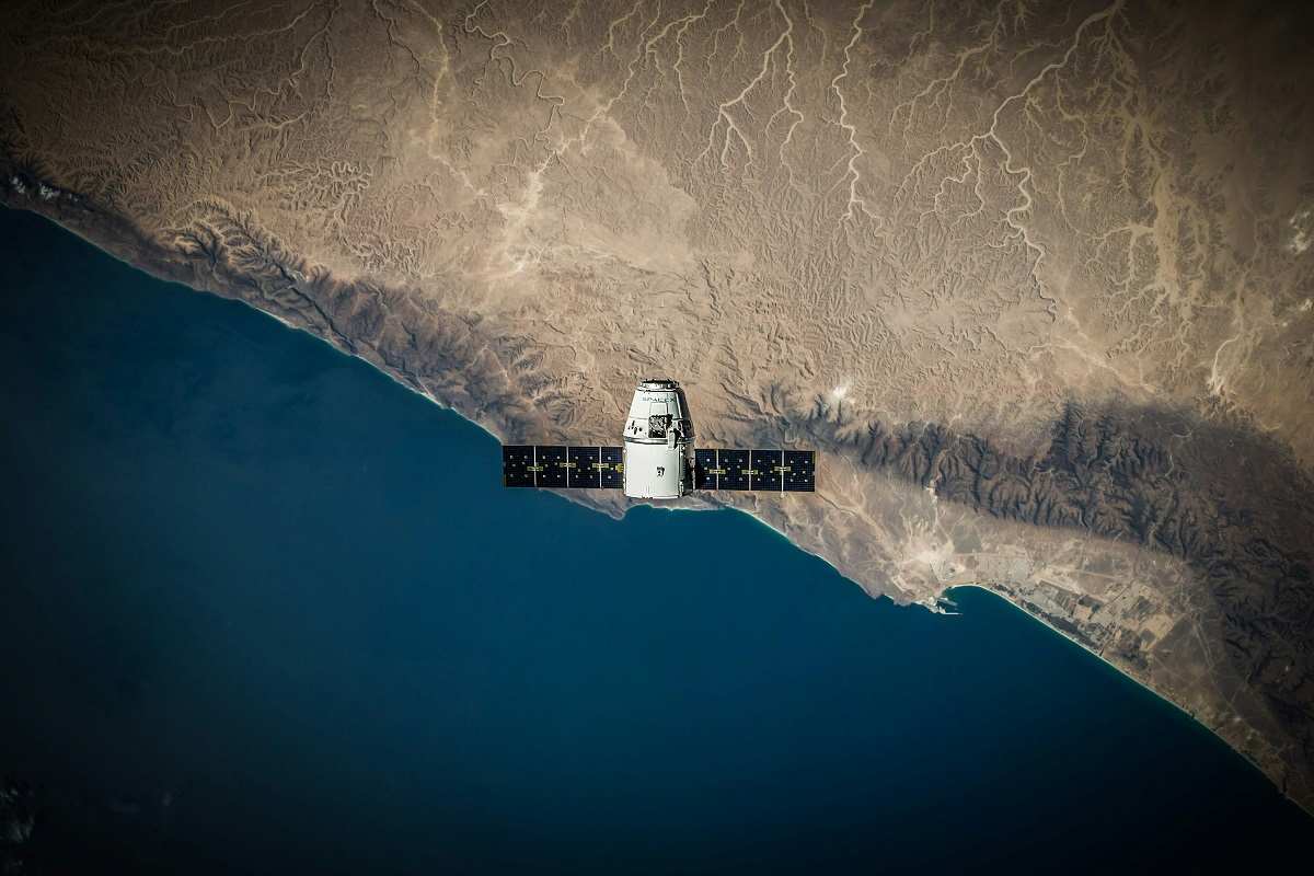
A remote sensing specialist is responsible for gathering and analyzing data from a distance, typically using technologies such as satellites, drones, and aircraft-based sensors. These specialists work with various types of sensors, including optical, radar, and lidar, to collect information about the Earth’s surface, the atmosphere, and even outer space.
Remote sensing specialists use their skills to create detailed maps, monitor environmental changes, and support decision-making in a range of fields. For example, they might track deforestation, monitor crop health, assess urban development, or study climate change. The data collected by remote sensing specialists is crucial for understanding large-scale trends and patterns that are not easily observed from the ground.
To process the data, remote sensing specialists use specialized software for data analysis, such as Geographic Information Systems (GIS) and image processing programs. They manipulate and interpret large datasets to extract meaningful insights, often presenting their findings through maps, reports, and visualizations.
Remote sensing specialists often work in collaboration with other experts, such as geographers, environmental scientists, and civil engineers. They contribute to a variety of projects, from environmental assessments to infrastructure planning and disaster management.
How to Become a Remote Sensing Specialist
To become a remote sensing specialist, a strong educational background in a relevant field is crucial. Typically, a bachelor’s degree in geography, geographic information systems (GIS), environmental science, or a related discipline is required. Advanced degrees, such as a master’s or Ph.D., are beneficial for those who wish to specialize further or pursue research roles.
While pursuing your degree, it’s important to gain hands-on experience with remote sensing technology and GIS software. Internships, cooperative education programs, and academic projects provide valuable opportunities to apply classroom knowledge to real-world applications. Experience with specific software tools, such as ArcGIS or ENVI, can be particularly useful.
After obtaining a degree, aspiring remote sensing specialists can start their careers in entry-level positions with government agencies, environmental consulting firms, or geospatial companies. Gaining practical experience is essential, as it helps build expertise in using remote sensing technology and interpreting data.
Certifications are also valuable for remote sensing specialists. Organizations like the GIS Certification Institute (GISCI) and the American Society for Photogrammetry and Remote Sensing (ASPRS) offer certifications that validate your skills and expertise in remote sensing. Earning these certifications can enhance your career prospects and demonstrate your competence to potential employers.
Continuous learning is key for remote sensing specialists. The field is constantly evolving with new technologies, methodologies, and applications. Keeping up-to-date with the latest advancements through training programs, conferences, and professional organizations is crucial for long-term success in this field.
Remote Sensing Specialist Salary
The salary of a remote sensing specialist varies depending on factors like experience, location, and industry. Entry-level positions for remote sensing specialists typically offer salaries ranging from $45,000 to $60,000 annually. As they gain experience and specialize in specific areas, such as environmental monitoring or aerospace, their salaries can increase to over $80,000 per year.
Geographical location can significantly impact salary. Regions with a high demand for remote sensing expertise, such as those with significant environmental monitoring or urban development projects, may offer higher compensation. Additionally, remote sensing specialists working in specialized fields, such as climate science or defense, may command higher salaries due to their unique expertise.
Benefits packages are an important consideration when assessing salary. Many remote sensing specialists work for government agencies, which often offer comprehensive benefits such as health insurance, retirement plans, and paid time off. Private sector jobs might provide competitive benefits packages, including bonuses and profit-sharing.
Where Does a Remote Sensing Specialist Work?
Remote sensing specialists work in various settings, from office environments to fieldwork locations. In office settings, they spend much of their time working with computers and specialized software to analyze and interpret remote sensing data. This involves processing large datasets, creating detailed maps, and generating reports and visualizations to present their findings.
Fieldwork is also a significant part of a remote sensing specialist’s role. They may need to collect data using drones, aircraft, or satellite imagery, requiring them to travel to different locations. Fieldwork might involve setting up equipment, conducting surveys, or collaborating with other specialists to gather accurate data.
Overall, the role of a remote sensing specialist is dynamic and requires a combination of technical skills, analytical thinking, and collaboration. Remote sensing specialists play a crucial role in providing valuable insights into the Earth’s surface and environment, making their work essential for informed decision-making in various fields.


