What is Remote Sensing?
Remote sensing is the science and technology of obtaining information about objects or areas from a distance, typically using satellite or aerial imagery. This field allows scientists and engineers to collect data without physically touching the objects or areas being observed. Remote sensing encompasses a wide range of techniques, from capturing visible light images to using radar, lidar, and other sensors to gather information about the Earth’s surface.
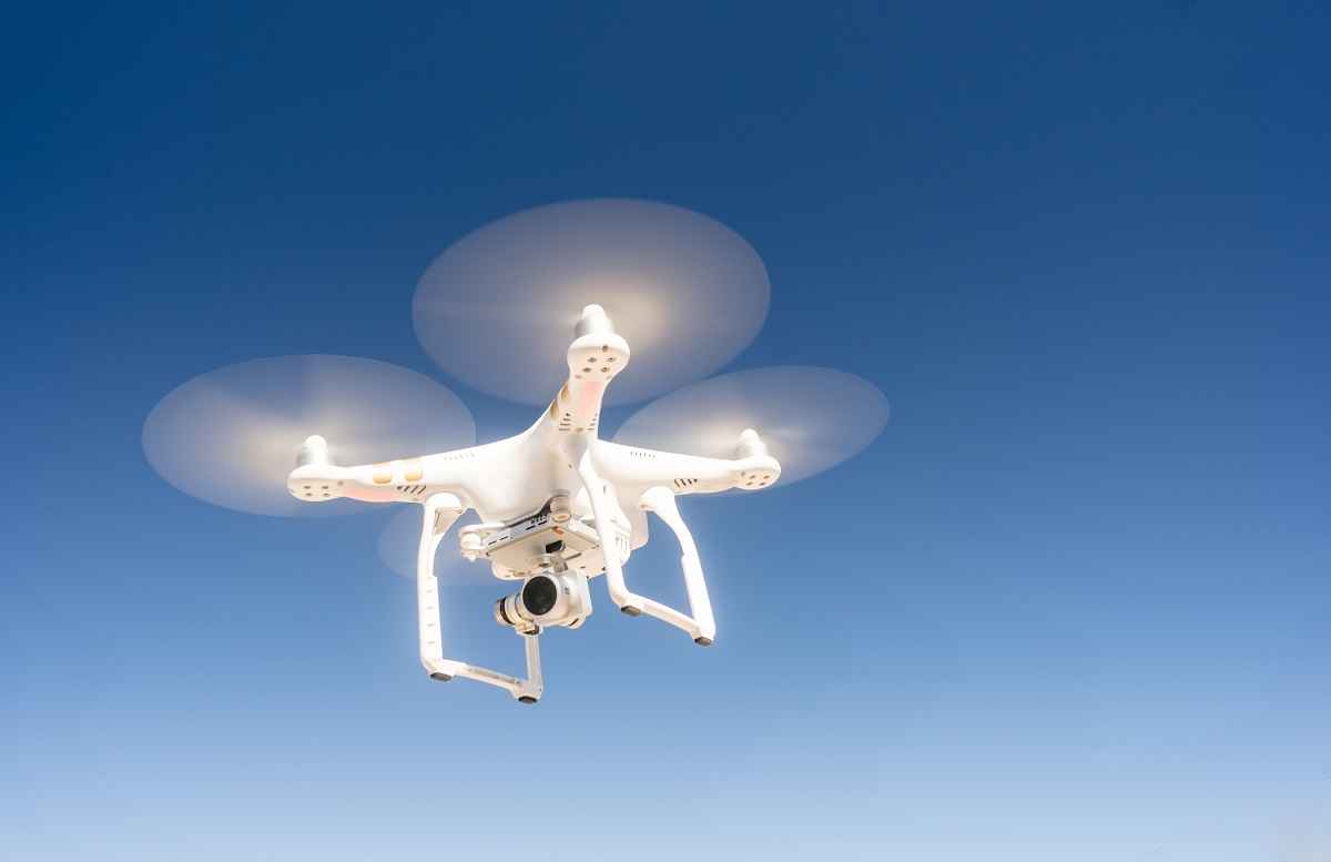
A key feature of remote sensing is its ability to collect data over large areas and in various conditions, making it a valuable tool for monitoring and analyzing environmental changes, urban development, agriculture, and more. Remote sensing uses satellites, drones, and aircraft equipped with different types of sensors to capture data at various wavelengths, including infrared, microwave, and ultraviolet.
Once the data is collected, it is processed and analyzed using specialized software to extract meaningful information. This could include creating detailed maps, tracking environmental changes, or monitoring agricultural fields. Remote sensing is used in various fields, including geography, environmental science, urban planning, and disaster management.
Why Learn Remote Sensing Nowadays?
Learning remote sensing is more relevant than ever in today’s technology-driven world. The ability to collect and analyze data from a distance has revolutionized many industries, offering unique insights and supporting informed decision-making. Here are some reasons why learning remote sensing is valuable:
First, remote sensing is essential for environmental monitoring. As the impact of climate change becomes more pronounced, remote sensing allows scientists to track changes in the environment, such as deforestation, glacier melt, and rising sea levels. This data is crucial for developing strategies to mitigate environmental damage and promote sustainability.
Second, remote sensing is critical for disaster response and management. In the event of natural disasters like hurricanes, earthquakes, or wildfires, remote sensing provides real-time data that helps emergency responders assess damage and coordinate relief efforts. It enables a faster and more efficient response, potentially saving lives and reducing the impact of disasters.
Third, remote sensing has a significant role in agriculture and land management. Farmers and land managers use remote sensing to monitor crop health, assess soil conditions, and optimize irrigation. This technology allows for more efficient and sustainable agricultural practices, contributing to food security.
Work in Remote Sensing
Working in remote sensing involves a variety of tasks, from collecting data with remote sensing technology to analyzing the data and creating detailed reports. Remote sensing professionals collaborate with scientists, engineers, urban planners, and government officials to provide valuable insights into environmental conditions, urban development, and other areas.
A typical day for a remote sensing professional might include acquiring satellite imagery, processing the data, and performing spatial analysis. Remote sensing software, like ERDAS IMAGINE, ENVI, and ArcGIS, is used to analyze the data and create visualizations, such as maps and 3D models. Fieldwork may also be required to validate remote sensing data or collect additional information.
Remote sensing professionals often specialize in specific areas, such as environmental monitoring, urban planning, or agriculture. Each specialization requires unique skills and knowledge. For example, those focused on environmental monitoring might use remote sensing to track deforestation and climate change, while urban planners use it to analyze urban sprawl and plan infrastructure.
The work environment for remote sensing professionals can vary, with some spending more time in offices analyzing data, while others conduct fieldwork or work on projects that involve collaboration with other experts. This variety adds to the appeal of the career, offering a mix of technical challenges and practical problem-solving.
Career progression in remote sensing can lead to roles like senior remote sensing analyst, GIS specialist, or remote sensing project manager. With experience, professionals in this field may move into leadership positions, overseeing remote sensing projects and managing teams. Some remote sensing professionals also choose to work in consulting, providing expertise to clients in various industries.
Why is Remote Sensing Crucial for Innovation?
Remote sensing is crucial for innovation because it provides a unique perspective on the world, allowing for the collection and analysis of data that would otherwise be difficult or impossible to obtain. Remote sensing technology drives innovation in various fields, offering new insights and supporting informed decision-making. Here are some reasons why remote sensing is key to innovation:
First, remote sensing is essential for environmental innovation. By using satellite imagery and other remote sensing technologies, scientists can monitor environmental changes in real time, enabling them to develop innovative solutions to address climate change and other environmental challenges. This data is critical for creating sustainable practices and conserving natural resources.
Second, remote sensing is a powerful tool for urban innovation. Urban planners and developers use remote sensing to understand the dynamics of urban growth and plan infrastructure projects. This innovation is crucial for creating efficient and sustainable cities, promoting smart growth, and optimizing land use.
Third, remote sensing plays a key role in agricultural innovation. Farmers and agricultural engineers use remote sensing to monitor crop health, assess soil conditions, and optimize irrigation systems. This technology supports more efficient and sustainable agricultural practices, leading to higher yields and reduced environmental impact. In summary, remote sensing is crucial for innovation because it provides the tools and insights needed to drive progress in various fields. By embracing new technologies and focusing on spatial analysis, remote sensing professionals are leading the way in solving complex problems and creating innovative solutions across a wide range of industries.


