What is Geographic Information Systems (GIS)?
Geographic Information Systems (GIS) is a technology that combines geographic data with various tools for mapping, analyzing, and visualizing information. It allows users to create detailed maps and perform spatial analysis on a wide range of data. GIS is used in various fields, including urban planning, environmental science, transportation, and public health, to make informed decisions based on spatial relationships and geographic trends.
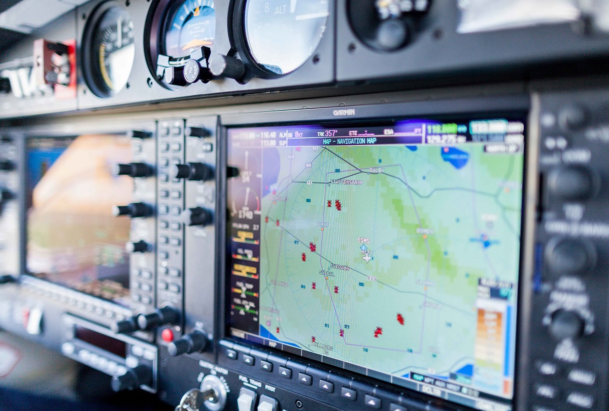
A typical GIS system consists of hardware, software, and data. GIS software, like ArcGIS and QGIS, provides the tools to create and analyze maps, while hardware includes computers and devices for collecting geographic data, such as GPS units and drones. GIS data can come from a variety of sources, such as satellite imagery, aerial photographs, and survey results.
One of the key features of GIS is its ability to overlay different types of data on a single map, allowing users to see relationships and patterns that might not be evident otherwise. This makes GIS a powerful tool for analyzing complex issues and making decisions that consider both geographic and non-geographic factors.
Why Learn Geographic Information Systems (GIS) Nowadays?
Learning Geographic Information Systems (GIS) is more relevant than ever, given the growing importance of geographic data in decision-making and planning. As technology advances and data becomes more accessible, GIS has become a critical tool for solving complex problems and understanding spatial relationships. Here are some reasons why learning GIS is valuable:
First, GIS is essential for urban planning and development. As cities grow and infrastructure expands, planners use GIS to design efficient transportation systems, allocate resources, and assess environmental impacts. GIS helps urban planners create sustainable and livable cities by analyzing spatial data and making informed decisions.
Second, GIS is crucial for environmental management and conservation. Environmental scientists use GIS to monitor changes in ecosystems, track wildlife habitats, and assess the impact of human activities on the environment. GIS provides the tools to visualize and analyze these changes, helping scientists develop strategies to protect natural resources.
Third, learning GIS offers a wide range of career opportunities. Professionals with GIS skills are in demand across various industries, including government, utilities, transportation, and public health. The versatility of GIS allows individuals to work on diverse projects and collaborate with professionals from different fields.
Work in Geographic Information Systems (GIS)
Working in Geographic Information Systems (GIS) involves a variety of tasks, from collecting geographic data to creating maps and conducting spatial analysis. GIS professionals collaborate with engineers, urban planners, environmental scientists, and government officials to provide insights into spatial relationships and support decision-making.
A typical day for a GIS professional might include gathering data from various sources, creating GIS databases, and analyzing geographic information. GIS professionals use software like ArcGIS, QGIS, and AutoCAD to create maps and perform spatial analysis. They may also use GPS devices and drones to collect geographic data in the field.
GIS professionals often specialize in specific areas, such as urban planning, environmental science, or transportation planning. Each specialization requires unique skills and knowledge. For example, those focused on urban planning use GIS to design efficient transportation networks and allocate land use, while environmental scientists use GIS to monitor ecosystems and track changes in wildlife habitats.
The work environment for GIS professionals can vary, with some spending more time in offices working on computers, while others conduct fieldwork to collect geographic data. This variety adds to the appeal of the career, offering a mix of technical challenges and practical problem-solving.
Career progression in GIS can lead to roles like senior GIS analyst, GIS project manager, or GIS consultant. With experience, GIS professionals may move into leadership positions, overseeing GIS projects and managing teams. Some choose to specialize in a particular industry, such as utilities or transportation, while others work in consulting, providing GIS expertise to clients in various fields.
Why is Geographic Information Systems (GIS) Crucial for Innovation?
Geographic Information Systems (GIS) is crucial for innovation because it provides the tools and insights needed to solve complex problems and understand spatial relationships. GIS allows for the integration of geographic data with other types of information, enabling organizations to make informed decisions and develop innovative solutions. Here are some reasons why GIS is key to innovation:
First, GIS is essential for urban planning and smart cities. GIS professionals use geographic data to design efficient transportation systems, optimize land use, and create sustainable urban environments. This innovation is crucial for addressing the challenges of urbanization and creating cities that are both livable and efficient.
Second, GIS drives innovation in environmental management and conservation. Environmental scientists use GIS to monitor ecosystems, track changes in wildlife habitats, and assess the impact of human activities. This innovation helps develop strategies for conservation and sustainable resource management, contributing to a greener future.
Third, GIS is a valuable tool for disaster response and public safety. Emergency responders use GIS to map disaster-prone areas, plan evacuation routes, and coordinate response efforts. This innovation is crucial for improving public safety and reducing the impact of natural disasters.
In summary, Geographic Information Systems (GIS) is crucial for innovation because it provides a platform for integrating and analyzing geographic data. By embracing new technologies and focusing on spatial analysis, GIS professionals are leading the way in solving complex problems and developing innovative solutions across a wide range of industries.


